Sunday, June 5, 2011

Day 8: Prince William Sound Glacier, Whittier Cruise

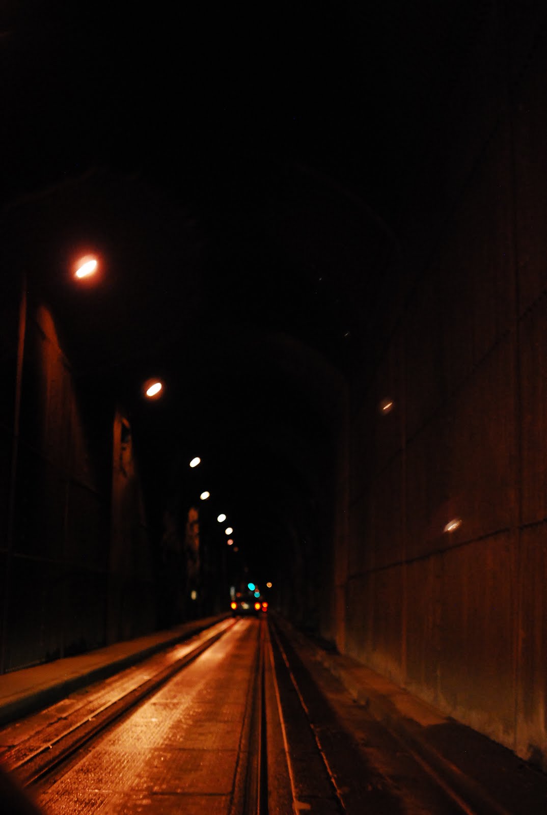
The drive from Anchorage to Whittier is about an hr and half. To reach Whittier, you have to drive through the Whittier Tunnel, which is the second longest highway tunnel and longest combined rail and highway tunnel in North America. Since it is shared by eastbound, westbound and Alaska Railway, it follows a strict schedule. The speed limit is 25 mph and  passing through it, I was reminded of the long, musty smelling, Konkan railroad tunnels of Mumbai. 

Display by a humpback whale on the way.
We had booked a Prince William Sound day cruise with Major Marine. Unlike some other large vessels, this is a fairly small one, which means at any time the deck is never over crowded with people and there is plenty of room to walk around inside. The crew are also friendly and they try to keep you entertained at all times :)


On the way there, we also saw a lot of bald eagles, sea gulls, and otter chilling out in the sea...The ship passes through Blackstone Bay and we saw the towering glaciers looming up against the vessel. Two of the active glaciers we saw were the Blackstone and Beloit Glaciers. 


Above: Beloit and Blackstone Glaciers. Below: Blackstone Glacier


We spent about 30 minutes watching and listening to these beauties calving slowly right in front of our eyes. It almost sounded like thunderstorms at first, followed by a loud crackling, followed by a big chunk of ice splashing in the water...It was breathtaking!


As we headed back, the clouds cleared up, the water colour changed to a beautiful turquoise and we saw many small waterfalls. 


We stopped by a famous one, called Surprise Falls (below), named because of its secret location.


All in all, a great day! Next destination: Clam Gulch!

Saturday, June 4, 2011

Day 7: Fairbanks to Anchorage via Richardson Hwy

After bidding good bye to Alina and Frodo, we started on our road trip back to Anchorage this time via Richardson Hwy. It is the oldest, longest and most well connected highway connecting Valdez in the south (Mile 0) to Fairbanks in the north (Mile 362). Some beautiful landscapes on the way. We stopped briefly at Rika's Roadhouse on Mile 275. Its a historic oasis for travelers, hunters and prospectors since early 1900s. 


Mile 275, Rika's Roadhouse


Mile 195, Summit Lake
A nice place to stop and stretch on the way is Matanuska Glacier. It is a valley glacier, the largest glacier in the US that is accessible by car. There is a Matanuska Glacier State Recreation Site at milepost 101, and if you continue further on there is a paid road access. I believe there are guided tours (~$50) and they take you far into the ice. We spent a few moments around the glacier, when it started to rain and we decided to continue on our way.
Matanuska Glacier, Mile 101
We reached our abode for the night at Sea Wolf Inn, Anchorage, and cozied in after the long day...Whittier, here we come!

Friday, June 3, 2011

Day5,6: Fairbanks

Our abode in Fairbanks was a really cute cabin...heavenly, may I add! It was surrounded by woods, right in the vicinity to almost all places of interest in Fairbanks. I would highly recommend staying here, even if it is for a couple of nights. The owner, Alina is an amazing host, and made us very comfortable with the cabin and had a great stocked up kitchen. Check out her cabin (Forget-me-Not-Cabins) for sure!!
Forget-me-not cabin, and Frodo and his belly-rubs :)
Fairbanks is a small town with a relatively big University of Alaska campus. Early next day we decided to visit the university (10-15 min drive from our cabin). We were interested in visiting LARS (Large Animal Research Station), that houses muskoxen, caribou and reindeer. 

Bob thinks he is boss


There is an  hour info tour of the facility, after which you can watch the muskox being fed. That was quite a novel experience...apparently even though food is freely available as pellets/supplements, the males have to establish dominance by head-butting each other...every single day!! What's with men ;)! We also briefly visited the Alaska Museum (also part of the AU), but like any museum, you need a whole day or at least half a day to do justice to all the exhibits. 


From here we proceeded on to Chena Hot Springs (60 miles East of Fairbanks). It is powered entirely using geothermal power source and research here is focused on alternative power engineering, and has a well-established greenhouse (left) to produce vegetables throughout the year. 


There is also a beautiful Ice Museum, that you must surely check out. It is free and has amazing sculptures, again powered by geothermal energy throughout the year! There is also an ice bar (on the right) where we had apple martinis...it was good! The actual hot springs was even better after the chili museum :) 

We spent about an hr or maybe more here, talking with the locals, and the other tourists, and decided to have dinner at the restaurant. Food is on the pricier side, and everyone recommended the salmon, but it wasn't as great as it was worth. The Chena Special Salad was awesome and was made with veggies from the in house greenhouse :) Content and tired we drove back to our warm cabin...
Sun shining upon the hot springs at 8 pm.

Wednesday, June 1, 2011

Day 3, 4: Fairbanks to Dalton Highway to Fairbanks

Our plan for Day 3 was to leave DNP and drive up north to Fairbanks (about a 4 hr drive). The ultimate plan was to drive on Dalton Highway, but since the highway is mostly dirt and gravel road, only a handful of rental car companies allow you to take their cars up there for fear of  windshield chips and flat tyres. Hence we needed to pick up another car, a 4WD from Fairbanks. We started out from DNP early, had breakfast and reached Fairbanks at about noon. They have a great visitor center with helpful volunteers  and we highly recommend stopping by there.We picked and packed  up our new and bigger car and hit the road! 

The trans-Alaska pipeline carries oil 800 miles from Prudhoe Bay (North) on the Arctic Ocean to the pipeline terminus at Port Valdez. The Dalton Highway was largely built to facilitate this transport and do to icy road conditions is almost always in poor condition. Just outside Fairbanks (Milepost F 8.4 on the Steese Highway), there is a  Viewpoint, and a Pipeline Visitor Center. Past this point, you will only see the pipeline parallel to the Dalton Highway. So stop here and take pictures!
Milepost F 8.4, Steese Hwy


Hilltop: The last trucker stop


After about 60 miles driving N on Steese Hwy, we finally reached Dalton Highway...If you ever watched Ice Road Truckers, you will probably understand why we both said a silent prayer under our breaths before entering the highway. It is a lonely stretch of deserted road, with only 2 gas stations along 600 miles and no services until other than Coldfoot, ~175 miles north  into the Dalton Hwy!

A truckee, unpaved road, some paved road and
a brave biker!
The dirt road ahead!


Our aim was to go to Arctic Circle, and camp at Coldfoot for the night, and take pictures along the way :).


There are a few things of interest to see along the road. The first thing you will see is the Alaska pipeline which runs almost parallel to the highway. It is above ground where ever the permafrost would interfere with it underground. On the right is the Dalton Highway within first 60 or so miles and adjacent Alaska Pipeline. 


Mile 98, The Finger Mountain Valley: Finger Mountain is called so because it points to Fairbanks in the south and was used as a  guide to early travelers. Winds were very strong in this area. 


Finger Mountain Valley, MP98


Mile 115, The Arctic Circle: Dalton Hwy is the one of the 2 roads in N America that crosses Arctic Circle.  Take a picture in front of the big board and prove that you made it till here!! 


Mile 150, The Grayling Lake: Carved out of glaciers, stop to take a pic.


Mile 175, The Coldfoot Camp: 
Bar at Coldfoot. Pic was taken at 12AM!!
This is the only real stop on Dalton Hwy. There is a bar, a hotel, and a campsite to crash for the night. This was originally a mining camp (old name, Slate Creek). Around 1900 it got its present name when the prospectors going up to the Koyukuk River  got "cold feet" and turn around! We camped here that night.


Day 2 on Dalton...
We left early on the next day and had  plans to drive further up N of the Dalton. Interesting, about 15 miles beyond Coldfoot, the road is very well laid out. 
Right (top), Post office (no longer in use), has sunk in 2 ft 
below ground. Bottom: Parts that might get recycled one day!


Mile 188, Wiseman:
 An old historical town with only 13 residents, this is a quaint little mining town founded by prospectors who abandoned Coldfoot after finding gold in a nearby creek. The 13 residents lead a very interesting life, subsistent on hunting and gardening, makes for a great stop on your trip. They are really self-sufficient, as they also make their own electricity, and build their machines from recycled parts. The residents are very friendly and happy to have visitors. There is also a B&B (believe it or not), and they can get up to 20 visitors during a busy season. Quotes from residents:

"I used to be a vegetarian, then met my husband and settled in Wiseman. Sometimes when I don't feel like eating meat, I supplement my protein needs with pulses and lentils that I order from amazon.com!"

"When I get bored in winters (so much snow that everything is in a standstill), I just snowboard or ski with my little brother!"

" I am originally from Utah, came to Anchorage, AK to study, met my now husband, dropped out of school, and came to settle down here!"

"Once a week, when the mail man comes with mail, we all get together to welcome him with food and drinks and make an evening out of it!"

What a unique and happy little town! Be sure to visit Wiseman if you drive all the way up to Coldfoot.
Initially we had planned to turn back from Wiseman, but the beautiful landscapes motivated us to move on further N!

Mile 203, Sukakpak Mountain
Sukakpak Mountain Panaroma
Northernmost Spruce


We saw a beautiful view of the Sukakpak Mountain (unique because it glows in the afternoon sun and rises like a wall) Stop here to take in a view or a picture.
Mile 235, The Northernmost Spruce: As you drive along further N, we noticed fewer trees due to the extreme cold weather. Here lies the furthest north spruce tree on the highway, killed by a vandal in 2004 (~ 273 years old)!!


Mile 237-240: Chandalar Shelf/Pass

Chandalar Shelf, Mile 237+
You will start to notice there are no trees beyond this point. The landscape was absolutely breathtaking, so scenic and...untouched! 
Mile 244, Atigun Pass: The first major incline beyond this point is the Atigun pass, the highest pass in Alaska and spans across the Brooks Range. You can get stunning views of the Brooks Range and of the trucks ascending and descending the pass. Around Mile 244 there is a little pull out zone where you can stop by to take photos. 
Two truckers driving towards each other over the Atigun Pass,
At this point we decided (quite hesitantly) to return...The only bonus to the driving up 245 miles on the Dalton is that you get to enjoy the beauty and the peace all over again! It was all so worth it!
Us, with a "been there, done that" smile :)
We drove back 300 or so miles (250 on Dalton + 60 or so on Steese Hwy) to our abode in Fairbanks...finally after 3 days of camping we will be rewarded with sound sleep on a real bed...zzz...


Tuesday, May 31, 2011

Day 2: DNP, Of Belly rubs and hikes...

Healy, here we come!

Our day 2 started pretty slow...the jet lag from the time difference, the long flight, and the walks from the previous day had begun to kick in and we were quite sedated even at 9 am...It was a beautiful sunny day, perfect for some hikes. We were told about the sled dog kennel tour that lasts approximately an hour and half  and is free. Shuttle buses take you to these kennels. 

Initially I was a bit hesitant, as I wasn't sure how well these dogs were treated...after I visited (and I am glad I did), I learnt these dogs love what they do, they get groomed and belly-rubbed every single day, and lay out in the sun sleeping or welcoming visitors...These are the only sled dogs in the United States that help protect a national park and the wildlife...mostly in winters when vehicles cannot reach into deep parts of the woods. So this was really a summer break for them! If you are an animal lover, you will enjoy this tour where you get to interact with these dogs, and let me tell you, they love belly-rubs!


Next we decided to start our hike. There are so many hikes and trails to chose from, we chose the Mt Healy Overlook. Reasons: 1. Great views from half-way point. 2. Even better views from the top. 3.The secret…you get to see Mt. Denali from the top of Mt Healy! Catch: It’s a strenuous hike (1,700 ft high, 25 % grade, 4.5 miles /7.3 km round trip, takes 3-4 hr). 


One of the breathtaking views from the top of Mt Healy
Go well prepared, wear the right shoes, take plenty of water and fruits, dress in layers (it’s very chilly and windy at the summit) and pack food so you can enjoy your victory lunch at the top! 
In the evening, we were back at the camp, sleepy as anything. and mentally recharged for the next day...Dalton Highway, here we come!

Monday, May 30, 2011

Day 1: Denali National Park

Moose on the loose

We started early on the 30th morning, as we had a scheduled shuttle bus ride at 7:30 am. The park only has paved roads for the first 15 miles after which the only way to navigate is hike/trek or buses. Pack fruits, water, cereal bars, sandwiches/easy to eat food, sunscreen, mosquito repellent and dress in layers. There are no food stores at any of the rest stops, only special toilets, called Sweet Smelling Toilets (SSTs), so please take some wipes or tiolet paper along too!

There are various kinds of buses you can take to explore the park. We chose the shuttle bus only because it offered the flexibility to actually hop on and off any time. 
During the summer months, the buses only run till mile 53, Toklat river. Our driver was very entertaining and would stop at the sight of any wildlife. We saw moose, moose and more moose! Oh and we also saw caribou and  dall sheep which seemed to love posing for the camera as they disappear behind the mountain edges. During the bus ride, if you are lucky (statistically only 15% people fall into this group) you can see Mount McKinley (Denali, the High one, named by natives), the highest mountain peak in the US. 


We could barely see it at first but I'll let you in on a secret about how to get a better view of Denali...read on! By midday we had reached the Toklat river stop, and decided to get off the bus and stretch out a bit. We strolled along the river and had our lunch, took in the fresh air, some pictures and then decided to get on the bus heading back. We hooped off at Polychrome Overlook, Mile 46, named such becuase of the multi colored bluffs. It was so pretty, but started getting slightly chillier.


So we started walking/hiking, Rahul more because he wanted to see bears up close and take pictures...(I was secretly praying 'NO!'). Looks like my prayers were answered, and after about an hr or so of walking, we got the bus back to the visitor center.

Just as we were getting registered for our camping, and getting all set to set up our camp, it started pouring outside...and by pouring I am serious..It didn't seem like we would be able to camp successfully, esp since I remembered we were so busy before we left that we didn't get a chance to seal the seams of the camp with sealant..so we will be cold and wet at the same time!

Almost as suddenly as the rain stated, it stopped and sweet sunshine smiled upon us as we hurriedly put up our tent. We started a camp fire, and settled down with some hot soup, tired but very content with the day. 

Sunday, May 29, 2011

Alaska-The Grand Plan

Visiting Alaska was always a dream...it just seemed like the perfect place to go to, had a touristy zing to it. We kept thinking about planning the visit, until about a month ago in April 2011 when we seriously decided to go. Rahul had made up his mind and as we sat at Barnes and Noble, sifting through pages of National Geographic, awestruck at the beautiful landscape and wildlife, we saw our dream materializing right in front of us. Before we knew it, we had booked our tickets through American Airlines and Alaska Air (RDU -> Chicago -> Anchorage). From there on it was an interesting 12 day, 1800 mile road trip...Read on!!

View Larger Map


Rahul had planned the trip so well that in spite of reaching Anchorage 7 hours later than we had previously anticipated (thanks to the fog in Chicago), we were fine. Our baggage had also decided to take a path of its own, and we did not have our camping gear for Day 1 Camping at Denali. After reaching Anchorage at 8pm (instead of 1pm)  we realized that in summer, 1pm looks exactly like 8pm in Alaska...bright sunlight welcomed us and made our 5 hour drive to Denali National Park much easier. We checked in at a cabin close to the park for the night, and retired for the day, hoping for a smoother tomorrow.

A day in Ayodhya

Ayodhya, the birthplace of Lord Rama, is a place steeped in history and spirituality. However, our recent visit there was a mixed bag of emo...